42 FISHERMANS LANDING ROAD
Owner Information
COLLINS JOANNE R &
42 FISHERMANS LANDING ROAD
BREWSTER, MA 02631


Property Details
42 FISHERMANS LANDING ROAD is classified as a Two-Family Residential (Cape).
The primary structure on this property was built in 1971. There are 2,206ft2 of built area within this property. There is 2,206ft2 of residential/living space within this property. This property is listed as having 10 rooms.
42 FISHERMANS LANDING ROAD is valued at $586,100. The land is valued at $237,200 and the structures are valued at $348,900.
This property is in Zone RL. Confirm with local Zoning Board authorities to ensure there are no overlays or other easements on this property.
42 FISHERMANS LANDING ROAD was last sold on Monday, June 17, 2002 for $300,000.
Assessment data from fiscal year 2022.
Flood Data
According to the FEMA National Flood Hazard Layer, this property does not appear to be in a flood zone. It may also be in an area not yet reviewed. Nonetheless, confirm this information prior to taking any action.
To view the flood hazards around this property, create a FEMA "Firmette" Map of the area around 42 FISHERMANS LANDING ROAD.
Broadband Internet Providers
| Provider | Type | Bandwidth (mbps) | |
|---|---|---|---|
| GCI Communication Corp. | Satellite | 0 | 0 |
| HughesNet | Satellite | 25 | 3 |
| Verizon New England Inc. | DSL | 5 | 0 |
| Viasat Inc | Satellite | 35 | 3 |
| VSAT Systems, LLC. | Satellite | 2 | 1 |
| Comcast | Cable | 1000 | 35 |
Broadband service provider data from December 2020.
Adjacent Properties
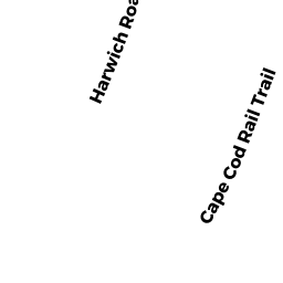
- 0 HARWICH ROAD
Dept. of Conservation and Recreation (DCR), Division of State Parks and Recreation owned by MASSACHUSETTS COMMONWEALTH OF - 0 JOLLYS CROSSING ROAD
Developable Residential Land owned by LAMBERT MICHAEL & PATRICIA W - 210 WINSTEAD ROAD
Single Family Residential owned by GAGNON GARY J & ANN M CO-TRUSTEES